


 Home
Home
1.5차 집결지 GoogleMaps:
https://maps.app.goo.gl/K7z3YcBJ3pX4TSNE6
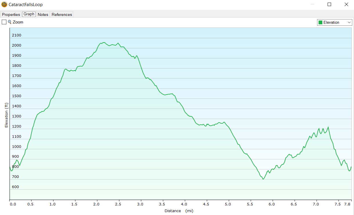
여기 산행안내 및 밑에 제가 달은 댓글에 첨부된 "CataractFallsLoop.gpx" 파일을 "Gaia GPS" 나 "ViewRanger" 스마트폰 앱에 Import 하셔서 참고하시면 산행하는데 좋은 길잡이가 되리라 봅니다.
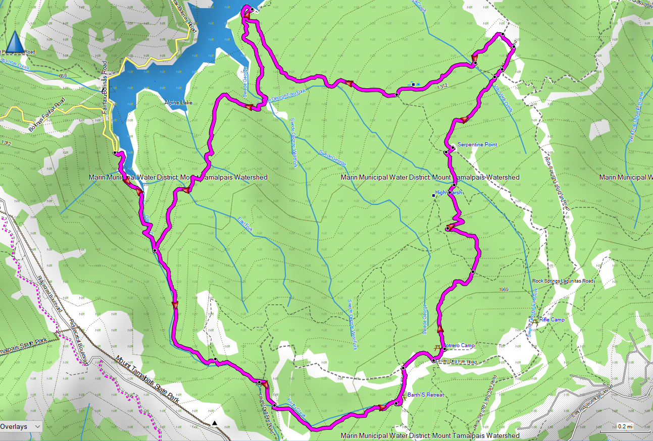
트레일:
Cataract Trail, 1.4 mi - Mickey o`Brien Trail, 0.7 mi - Simmons Fire Rd and Laurel Dell Fire Rd, 0.1mi - Kent Trail, 1.3 mi, Footway to Serpentine Point2, 0.2 mi - Rocky Ridge Fire Road, 0.45 mi - Stocking Trail, 0.4 mi - Helen Markt Trail, 2.8 mi - Cataract Trail, 0.5 mi (총 7.8 마일)
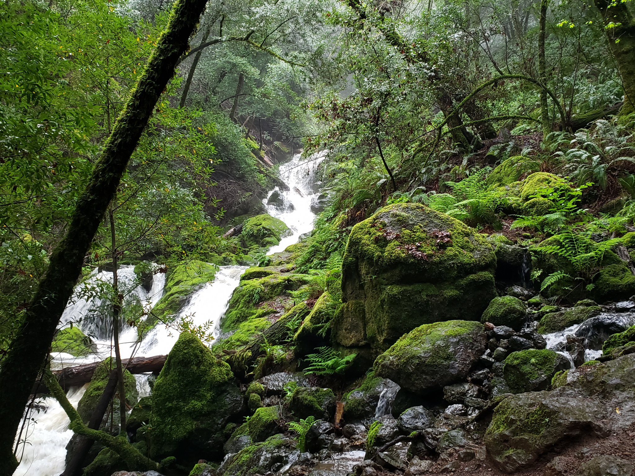
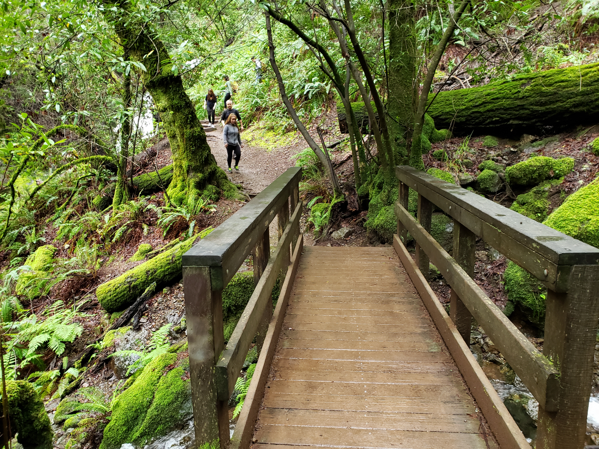
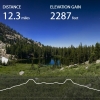
고도변화도 및 산행지 사진 (2019년 4월):
 7/20/19 (Sat) Tilden RP
 7월 13일 19 (토) Lyons Creek & Silvia Lake


참가합니다 (일번)